A flood zone determination is a document that provides information and confirms the flood status of a specific property. The MyFloodStatus Flood Zone Determination includes (i) the FEMA standard flood hazard determination form that identifies the zone and states whether flood insurance is required under the NFIP rules (ii) visual verification maps that present imagery our experts use in their analysis (iii) flood zone legend (iv) advisory/preliminary maps (when available) so the property owner can have a ‘heads up’ to possible future changes in their flood zone.
Benefits include:
- Accurate, insured structure-based flood zone determinations backed by $2M of Error & Omissions insurance.
- Accurate visual verification.
- Reports that provide preliminary maps wherever FEMA is proposing a map change, indicating how the designation might change.
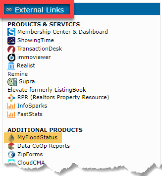
MyFloodStatus reports can be accessed from:
- The External Links widget on the Matrix home page

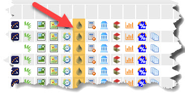
- By clicking the drop of water icon on any Matrix display. Here is an example from the Single Line display

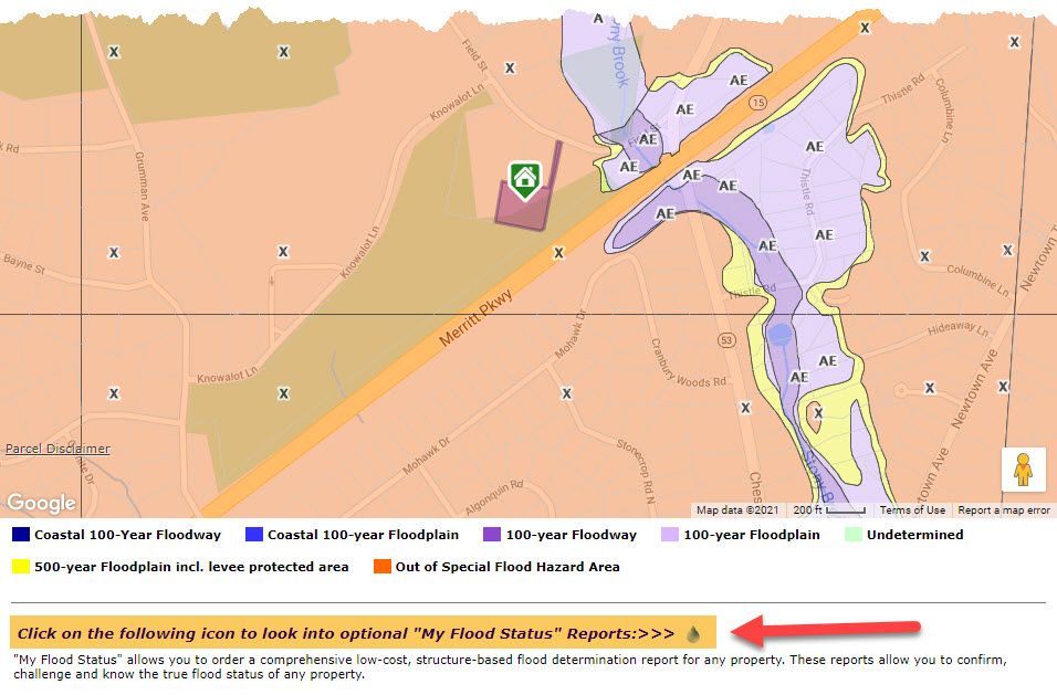
After you click the icon, the Matrix Property Flood Report will display. You can access the My Flood Status reports by clicking the link underneath the map:

Comments
Please sign in to leave a comment.